Computational Information Design
Ben Fry Senior Studio|Fall 2006
Carnegie Mellon University
School of Design
process
I was inspired to explore maps and
street names when I passed a street
back home in California called Old
Snakey Road. That happened to be a
unique street name that roused my
interest. At the same time, many
road names are generic and say
nothing about a community or its
history.
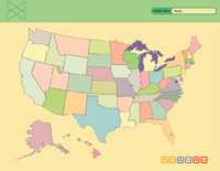
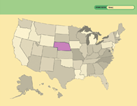
Initially, I wanted to create a
system to categorize street names
across the country. The viewer would
be able to select his own parameters
Ideally, the viewer would come to
his own conclusions about the way
streets are named. However, I found
that such categories revealed little
information and after much difficulty,
changed my focus.
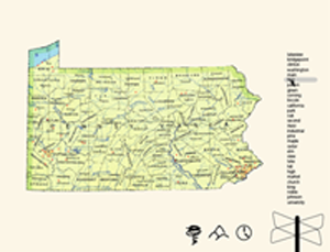
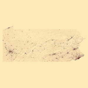
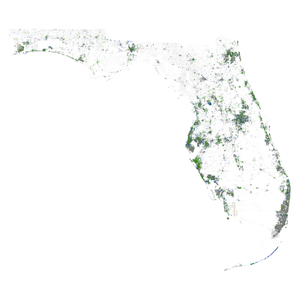
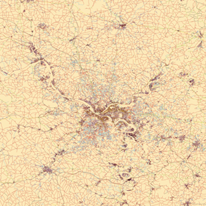
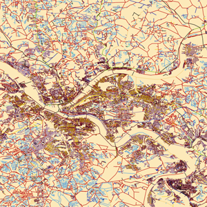
The resulting solution was to create
a piece where street names were
categorized into groups by geographic
features. The groups are represented
by different glyphs and colors. My
intention is for these maps to be large
print pieces placed next to one another
so that the detail is clear. When I
decided to categorize by geographic
features, I had noticed interesting
ironies like how the areas represented
most naturally are actually the urban
centers while empty fields are the true
forests and mountains.
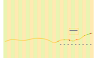
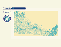
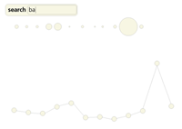
For my initial concept I created
sketches of how I thought data could be
organized. I considered search bars, ways
represent graphical information, timelines
zooming into the map, etc.
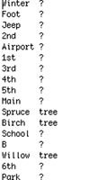
Code-wise, I used a classifier to separate
the millions of street names in the country
or in each state to fall into my preset
categories. Then the classifier was used to
put certain street names in its proper
category
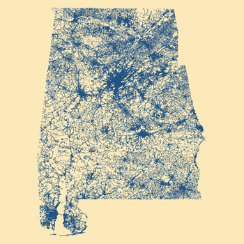
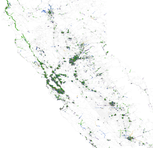
The flexible final code allows me to enter
data for any state. California and Florida
are shown here. I can also enter different
parameters. The last sketch illustrates
roads colored by the type of road.
(i.e. blvd, route, ave, etc.)

Grace Li
Industrial Design
 |
 |
 |
 |
 |
 |
 |
 |
 |
 |
 |
 |
 |